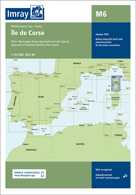
IMRAY CHART M6
Chart ID:
ICM6-2
Édition:
2016, letzte Korrektur im 04/2022
Échelle:
1:255.000
Description
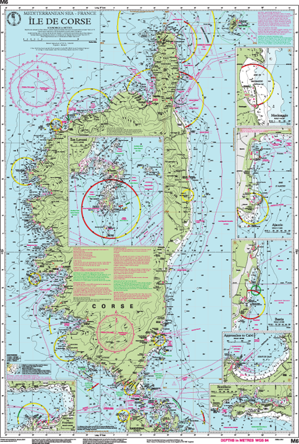
Île de Corse
Mediterranean Sea - France
Scale: 1:255,000 WGS 84
Plans included:
Macinaggio (1:10 000)Bastia (1:15 000)
Approaches to Calvi (1:35 000)
Ajaccio (1:12 500)
Approach to Propriano (1:20 000)
Bonifacio (1:12 500)
Îles Lavezzi (1:50 000)
On this edition the latest depth surveys have been applied where available. Completed harbour developments are included at Propriano.
The soon to be adopted ‘In the Corsica Channel’ Traffic Separation Scheme is shown.
The chart specification has been improved to show coloured light flashes. There has been general updating throughout.
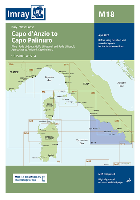
Aperçu de la zone
Grâce à notre aperçu de zone, vous pouvez vous faire une idée de la région géographique dont traite le produit ou des zones couvertes par une carte nautique.
Produits liés à cet article
Avis
Connexion

