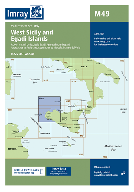
IMRAY CHART M29
Chart ID:
ICM29-2
Édition:
2015, letzte Korrektur im 04/2022
Échelle:
1:375.000
Description
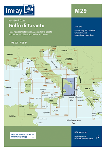
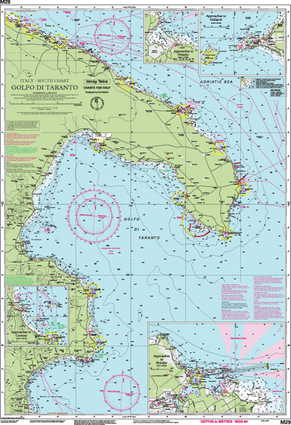
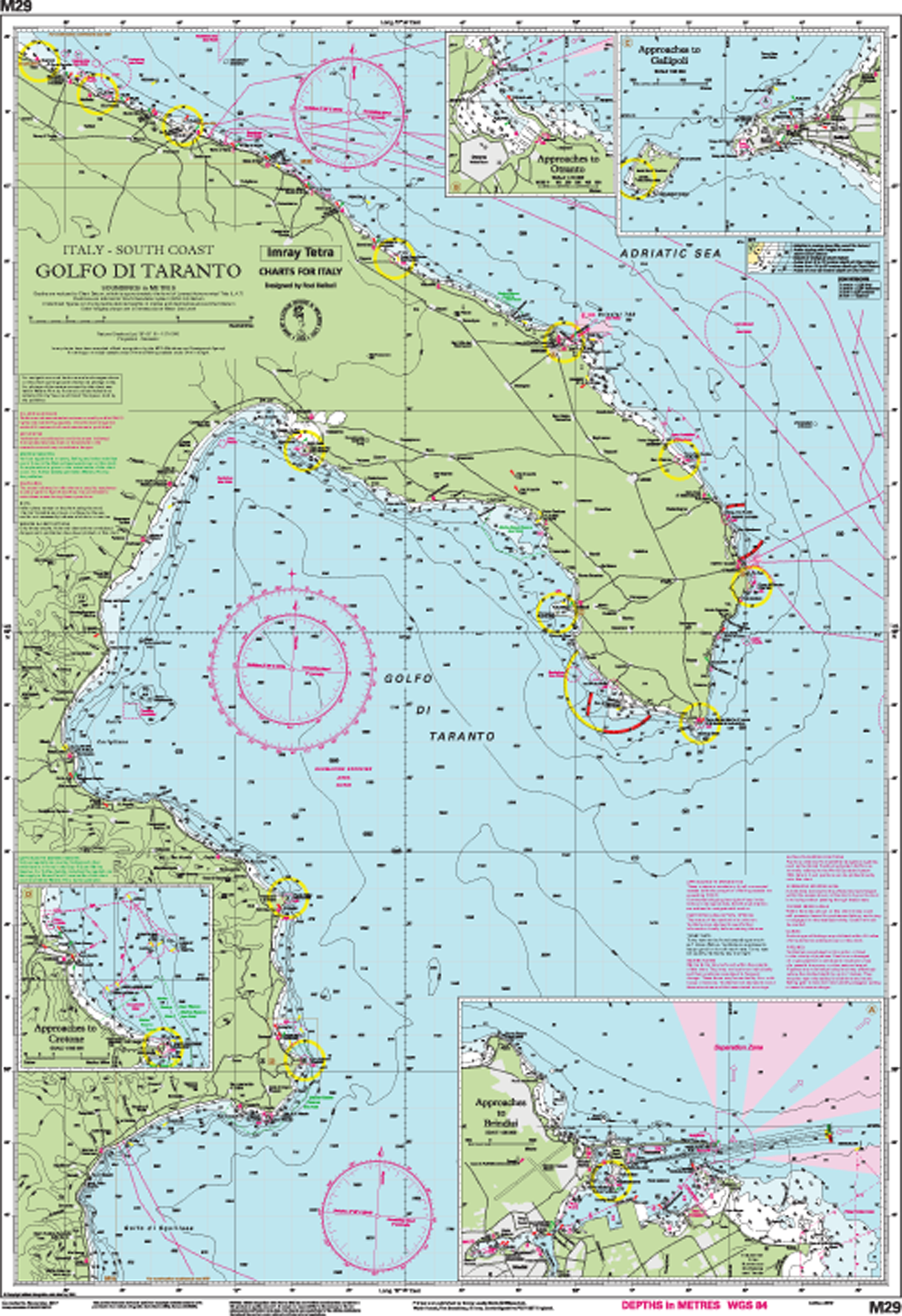
Golfo di Taranto
Italy - South Coast
Scale: 1:375 000 WGS 84
Plans included:
Approaches to Brindisi (1:35 000)
Approaches to Otranto (1:15 000)
Approaches to Gallipoli (1:30 000)
Approaches to Crotone (1:100 000)
For this edition the chart has been fully updated throughout. The amended TSS at Brindisi is now displayed.
Aperçu de la zone
Grâce à notre aperçu de zone, vous pouvez vous faire une idée de la région géographique dont traite le produit ou des zones couvertes par une carte nautique.
Produits liés à cet article
Avis
Connexion

