
Passer au contenu principal Passer à la recherche Passer à la navigation principale
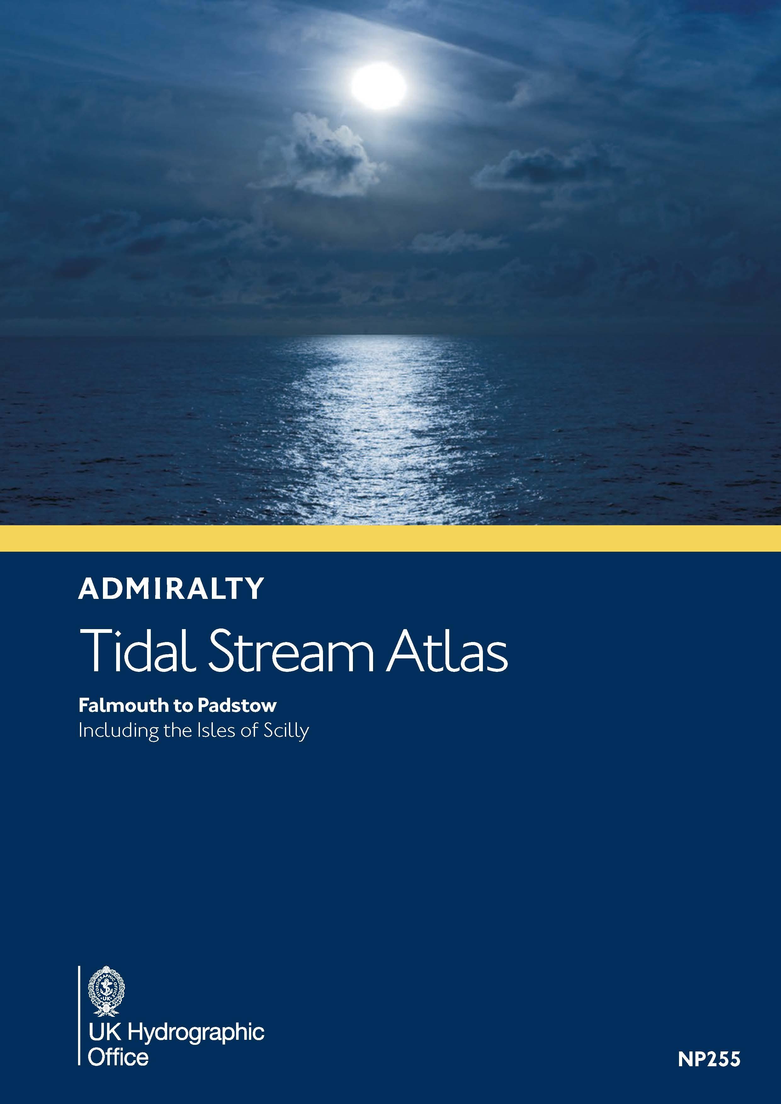
Gezeitenstromatlas NP255 Falmouth to Padstow, including the Isles of ScillyArtikel ist keine Lagerware. Lieferzeit 7 Tage
Propriétés "Gezeitenstromatlas NP255 Falmouth to Padstow, including the Isles of Scilly"
Format: Softcover / Taschenbuch
Langue: anglais
Fabricant "ADMIRALTY"

ADMIRALTY: Präzise Navigation mit Unterstützung des UK Hydrographic Office.

ADMIRALTY ist ein Anbieter von Navigationskarten, -Publikationen und -Digitaldiensten für die Berufsschifffahrt als auch für den Freizeitbootbereich. Eine zentrale Rolle spielt dabei das UKHO. Das UK Hydrographic Office (UKHO) ist ein weltweit führendes Zentrum für Hydrographie, das sich auf marine Geodaten spezialisiert hat, die zu einem besseren Verständnis der Weltmeere beitragen. Die durch das UKHO herausgegebenen Daten, Hinweise oder Seekarten unterstützen in Papierform oder digital die Schifffahrt und natürlich auch den Freizeitbootbereich.

TIPP: Hier finden Sie alle Hersteller im Überblick. Hier klicken

Propriétés "Gezeitenstromatlas NP255 Falmouth to Padstow, including the Isles of Scilly"
Format: Softcover / Taschenbuch
Langue: anglais

0 sur 0 avis

Note moyenne de 0 sur 5 étoiles

Donnez votre avis!

Partagez avec d'autres clients votre avis sur le produit.


Aperçu de la zone

Grâce à notre aperçu de zone, vous pouvez vous faire une idée de la région géographique dont traite le produit ou des zones couvertes par une carte nautique.

Produits liés à cet article

Gebietsvorschau für Atlas des courants de marée NP250 The English Channel öffnen
Atlas des courants de marée NP250 The English Channel
Courant de marée de la Manche

48,50 €*
Gebietsvorschau für Gezeitenstromatlas NP218 North Coast of Ireland and West Coast of Scotland öffnen
Gezeitenstromatlas NP218 North Coast of Ireland and West Coast of Scotland
Atlas des marées pour la côte nord de l'Irlande, les Hébrides et la côte ouest de l'Écosse

48,50 €*
IMRAY CHART C80
Carte générale de la Grande-Bretagne

37,90 €*
Gebietsvorschau für Gezeitenstromatlas NP222 Firth of Clyde and Approaches öffnen
Gezeitenstromatlas NP222 Firth of Clyde and Approaches
Admiralty Tidal Stream Atlas für Seegebiet zwischen Nord-Irland und Schottland

36,35 €*

Ähnliche Artikel

Gebietsvorschau für Gezeitenstromatlas NP264 The Channel Islands an adjacent Coast of France öffnen
Gezeitenstromatlas NP264 The Channel Islands an adjacent Coast of France
ADMIRALTY Tidal Stream Atlas der Kanalinseln und der franzöischen Gewässer von Cherbourgh bis St. Malo

48,43 €*
Gebietsvorschau für ADMIRALTY NP72 Southern Barents Sea and Beloye More - Seehandbuch öffnen
ADMIRALTY NP72 Southern Barents Sea and Beloye More - Seehandbuch
Admiralty Sailing Directions. Southern Barents Sea and Beloye More Pilot, 3. Edition 2014. The coast of the Russian Federation from Reka Vor‘yema to Proliv Yugorskiy Shar, including Beloye More

123,86 €*
Gebietsvorschau für ADMIRALTY NP47 Mediterranean Pilot Vol 3 - Seehandbuch öffnen
ADMIRALTY NP47 Mediterranean Pilot Vol 3 - Seehandbuch
Admiralty Sailing Directions. Seehandbuch für das Ionische Meer / Adria.

123,86 €*
Gebietsvorschau für Gezeitenstromatlas NP220 Rosyth Harbour and Approaches öffnen
Gezeitenstromatlas NP220 Rosyth Harbour and Approaches
ADMIRALTY Tidal Stream Atlas für den Hafen von Rosyth im Firth of Forth

33,57 €*
Gebietsvorschau für F 563-UJA Atlas de courants öffnen
F 563-UJA Atlas de courants
Atlas des courants pour la Côte de la Manche bretonne de Héaux-de-Bréhat à la Pointe de Pontusval

54,40 €*
Gebietsvorschau für Atlas des courants de marée NP251 North Sea Southern Part öffnen
Atlas des courants de marée NP251 North Sea Southern Part
Courants des marées pour le sud de la mer du Nord

48,50 €*